Shanghai Pudong International Airport (PVG)
Orientation and Maps
(Shanghai, China)
With a population exceeding nine million people and many spectacular buildings, Shanghai is China's premier city and is located next to the Yangtze Delta river. Shanghai is home to a vast and busy harbour, which is amongst the biggest in the People's Republic of China and on the whole planet. The centre of the country's modern economy, Shanghai is a city of commerce and industry, and is also home to many prominent financial institutions.
Founded in 1999, Shanghai's Pudong International Airport (PVG) lies to the south-east of the city centre, on the eastern side of the Pudong region. Pudong Airport replaced Hongqiao Airport to become the city's international gateway and each year transports over 40 million travellers.
Shanghai Pudong International Airport (PVG) Maps: Important City Districts
The very centre of Shanghai is relatively small and much of this district is easy to walk around. On the western side of Shanghai, the Pu Xi neighbourhood features a gridwork of roads and a number of landscaped Chinese gardens, such as the 17th century Yu Gardens, along An Ren Road. Lined with boutiques, shops and restaurants, Huai Hai Road is a trendy part of Shanghai's Pu Xi district and stretches for around 6 km / 4 miles. Those looking for colonial history and impressive Art Deco style architecture should consider a visit to the Bund area of Pu Xi, while nearby, the Jing An neighbourhood offers a quiet park in the heart of the city.
On the eastern side of central Shanghai you will find the Pu Dong district, which has expanded greatly in recent years. This area is dominated by the spectacular Oriental Pearl TV Tower, which offers an observation deck and outstanding views of the cityscape.
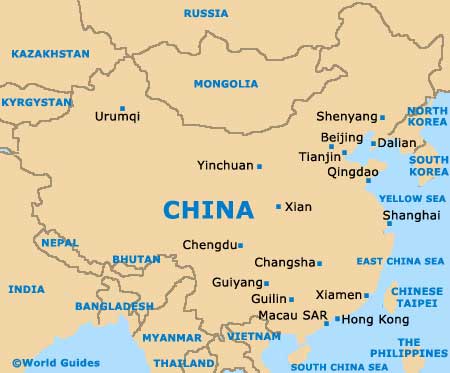
China Map
Shanghai Municipality
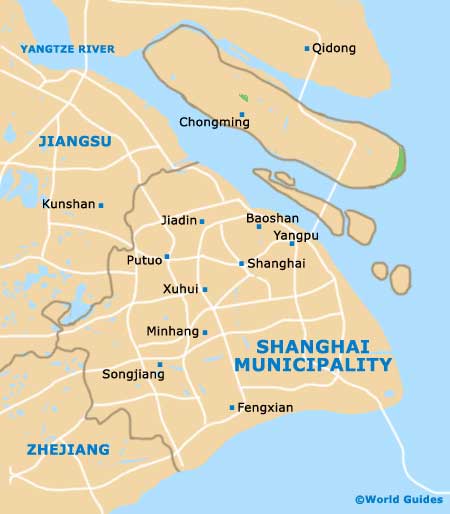
Shanghai Map

